About Earth Explorer
Earth Explorer is GPS Enabled digital map software with high-resolution satellite images and SRTM imagery of the world. It is a kind of educational scientific software of geography.
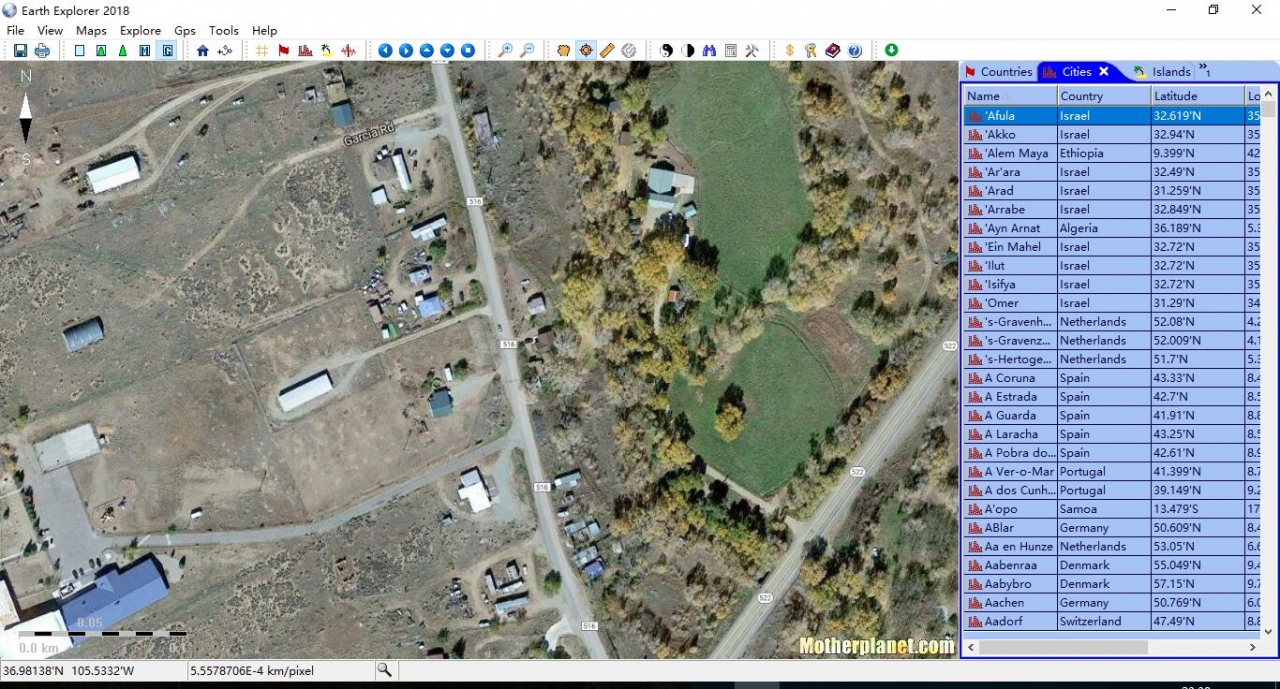
Earth Explorer is GPS Enabled digital map software with high-resolution satellite imagery, shaded relief topographic imagery and blending imagery of the two. It also include location information of 270 countries and regions, 50000+ cities, 15000+ islands and 50000+ earthquakes from 1973; And outline information of political boundaries, rivers, lakes, coastlines of the world and etc. All those map information was integrated together for providing a total 3D view of our beautiful planet earth. You can place your own placemarks and path routes to the map, show GPS tracks on the map and keep them with the maps if you connected with a GPS device. Beside these, it has many other interesting functions, you can regard it is a kind of educational scientific software of geography.
Key Features:
1. Support realtime satellite map GPS navigation on vehicle/ship/plane;
2. Support street level (1m resolution) satellite image and 90m-res SRTM picture exploring in online/offline mode;
3. Include information of 270 countries and regions, 40000+ cities, 15000+ islands, 50000+ earthquakes from 1973 and vector layers includes political boundaries, coastlines, rivers, lakes, longitude-latitude grids;
4. User can add their own Placemarks, Paths, GPS Tracks to Earth Explorer;
5. User can define and add their own map style to Earth Explorer;
6. Support NEMA-0183 compatible GPS receiver;
7. Other functions like Measure and calculate distance and bearing between any two location, find by name, show day/night shadow effect, adjust Gamma, and etc.
8. Download maps to disk cache in background (Advanced license).
Previous Versions
Here you can find the changelog of Earth Explorer since it was posted on our website on 2015-04-25 03:00:00.
The latest version is 2018 and it was updated on 2024-03-27 14:50:47. See below the changes in each version.
Earth Explorer version 2018
Updated At: 2018-03-31
Changes: 1. Add street level satellite map with Google imagery source;2. Add street level satellite map with Microsoft imagery source; 3. More stable and fluent;
Earth Explorer version 6.1
Updated At: 2009-09-25
Changes: 1. Support self-define living map from local/network/web;2.Support altitude(from ground) in self-define location map;3. Support report gps location to your manager server periodically;4. Support popup html information when user click location item in the map window; 5. Background download bug fixed.
Earth Explorer version 4.6
Updated At: 2006-07-12
Changes: Street level resolution, Add placemark, Add path, Print etc.
Disclaimer
External Download
We do not host Earth Explorer on our servers. We did not scan it for viruses, adware, spyware or other type of malware. This app is hosted by the software publisher and passed their terms and conditions to be listed there. We recommend caution when installing it.
The external download link for Earth Explorer is provided to you by apps112.com without any warranties, representations or guarantees of any kind, so access it at your own risk.
If you have questions regarding this particular app contact the publisher directly. For questions about the functionalities of apps112.com contact us.